

-
- 111th Academic Year
- The Avenue of NCKU Heritage – Area of Cultural Assets
- The Avenue of NCKU Heritage – Area of Environment and Ecology
- From country to city: Taveron and Han integration
- Kyrie: Pestilence and faith in the salty area
- Highlighting Western Chu-Wei
- Ginza: Commercial tracks from harbors to modern streets
- Tavocan and the Town of Hills
- The Museum: Ecological village and eco-museum
- The Stories about Major South Gate of Fu-Chen (Tainan)
- Modern new generation
- 110th Academic Year
- The Route of NCKU Students - The Cultural Assets Area
- NCKU Students' Route – Area of Cultural Assets
- Migration and Settlement of the Siraya Tribe
- Zengwen Creek’s nine bends and 18 turns, with astronomy, hydrology and humanities
- Exploring the Old Industries of Tainan City
- Journey of Beauty
- The Narrations of Water Resources, Agriculture and Livestock Industries
- Exploring Old Yuejin Harbor Area
- Lâu-Nuā Sió Sai Kha
- Highlighting Western Chu-Wei Area, Yu-Ler Street & Eastern Gate
- 109th Academic Year
- NCKU Students' Route – Area of Cultural Assets
- NCKU Students' Route – Area of Environment and Ecology
- Migration and Settlement of the Siraya Tribe
- Old Taijiang Inner Sea: Its Previous and Current Existence
- Lâu-noā Sió-sai-kha
- Exploring the Old Industries of Tainan City
- The Exploitation of the Works of Nature-Journey about The Frost and The Flower of Salt
- Badlands and the Mountain City
- Age-old Stories from the South of the City
- The Magnificent of Zheng-Xing Street
- 108th Academic Year
- The Route of NCKU Students─The Cultural Assets Area
- NCKU Students' Route – Area of Environment and Ecology
- Ecology of Fishery and Sea Salt Harvesting─ The Nature and Culture of Tai-Jiang Lagoon
- Migration and Settlement of the Siraya Tribe
- Age-old Stories from the South of the City
- Exploring the Old Industries of Tainan City
- The Narrations of Water Resources, Agriculture and Livestock Industries
- Technology and Humanities Science Park and Cultural Archeology
- From Kū-Lâu to Sin-Lâu Hospital
- Folk Delicacy around Minor West Gate Area
- 107th Academic Year
- The Avenue for NCKU Students
- Exploring Old Occupations in Tainan
- Secret Literary Path of Tainan
- Migration and Settlement of the Siraya Tribe
- Old Tai Jang Inner Sea: Its Previous and Current Existence
- Five-Canal Harbor Area: The Water Gods and Import-Export Tradesmen
- Tradition and Innovation: Zhengxing Street and the Grand Market(Da Caishi)
- The Water Resource of Tainan Area
- The Grace of Yanshui Harbor: Rejuvenation of Yanshui and Hopi Settlements
- 106th Academic Year
- The Avenue of NCKU Students
- Gate of Urn-Shaped Castle and the Stony Plates
- Siraya People’s Migration and Their Journey to Settlement
- Zeelandia and the Retrospective Anping
- Old Taijang Inner Sea (Taijang Nei Hai ) : Its Previous and Current Existence
- Tradition and Innovation- Zhengxing Street and the Grand Market (Da Caishi )
- Qing Dynasty Government Official’s Trail-Chunan Old Street and Zhenbei Fang
- Five-Canal Harbor Area, the Water Gods and Import-Export Tradesmen
- Fantastic Trips to Know Sugar and Salt production
- Chikan Park Area and Historical Traces
- Secret Garden of Literature- From Taiwan Administration (Taiwan Fu) to Tainan Prefecture Hall (Tainan Zhou Ting)
- The Water World of Tainan Area
- 111th Academic Year
-
-

-
From country to city: Taveron and Han integration
Route Introduction
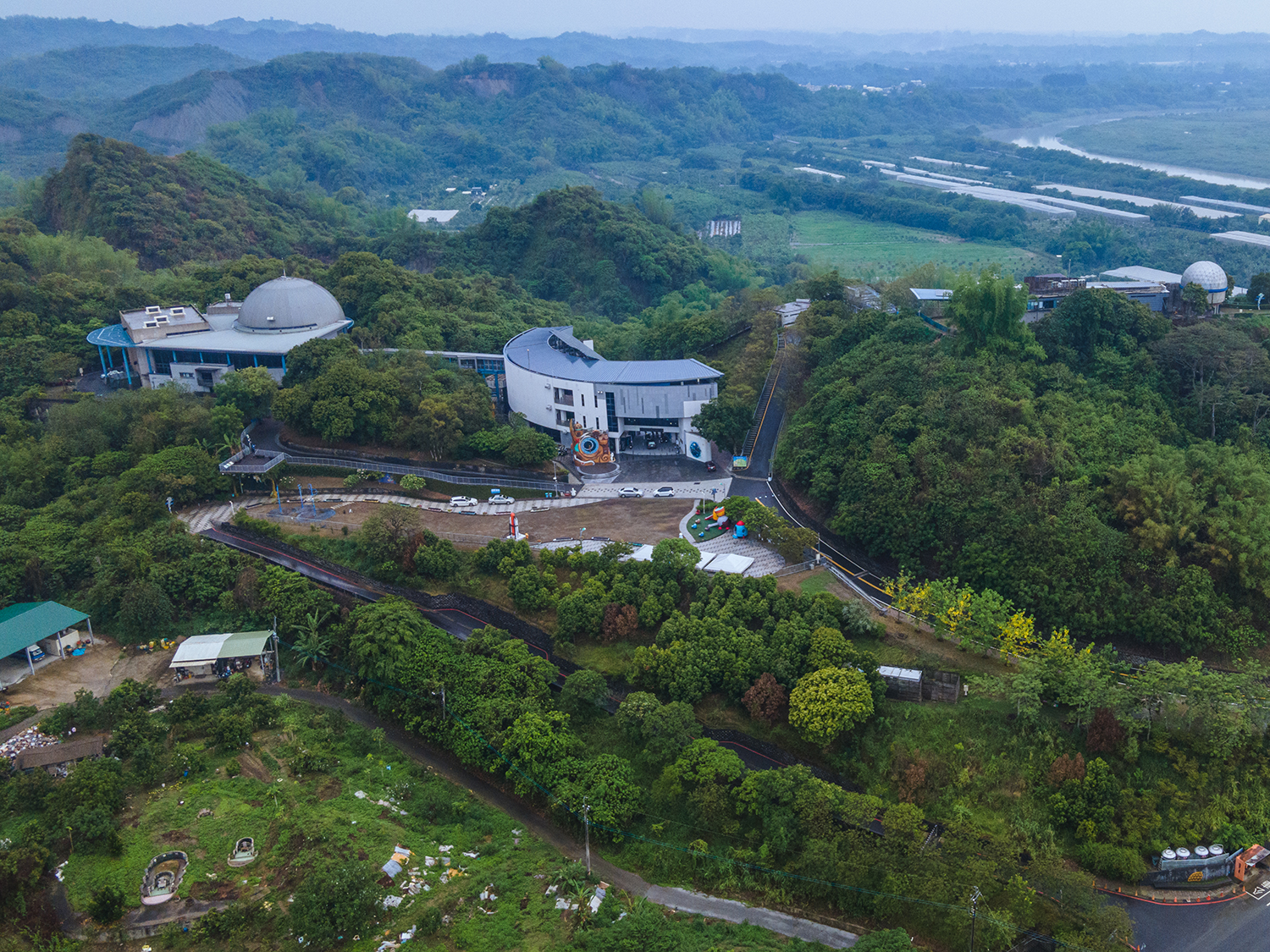
The Zengwen River Sub-streams
The mainstream and tributaries of upstream the Zengwen River flow through the Yujing Basin, and the flat terrain of the basin causes curved flow. After leaving the Yujing Basin, the River flows into the southwest mud and rock area, which is the so- called bad terrain. Due to the soft mud and rock texture, the slope on both banks of the river is vulnerable to erosion, the river is easily diverted and the curved flowing terrain is commonly observed. The Zengwen River mainstream river channel originally flows northeast-southwest, but five twists of the curved terrain appear from Yujing to Danei.
The Danei District is located at the junction of the Jianan Plain and the mountainous area, with the Zengwen River flowing through the area, and there are three big bends in Erxi, Mingtou, and Toushe, because of the cutting of the mountains by the Zengwen River, there is a significant badland terrain formed on the concave bank, and the convex surface forms a river step-terrace. In the early days, to enter Danei, it was necessary to cross the Zengwen River twice, so it was also called “Erchong Creek.”
-